Lumo points, and the collar notices
A new dog and a new skill for the collar: a point is detected and drawn on the dog's trail. The app also gained trail length, speed, the club's ground and maps of Norway.
This time the lead is not Laikku but Lumo, a pointing bird dog. Lumo has made several trips over the past week with a Lauma Tracker on, and the collar learned something from them that it could not do before: alerting when the dog is on point.
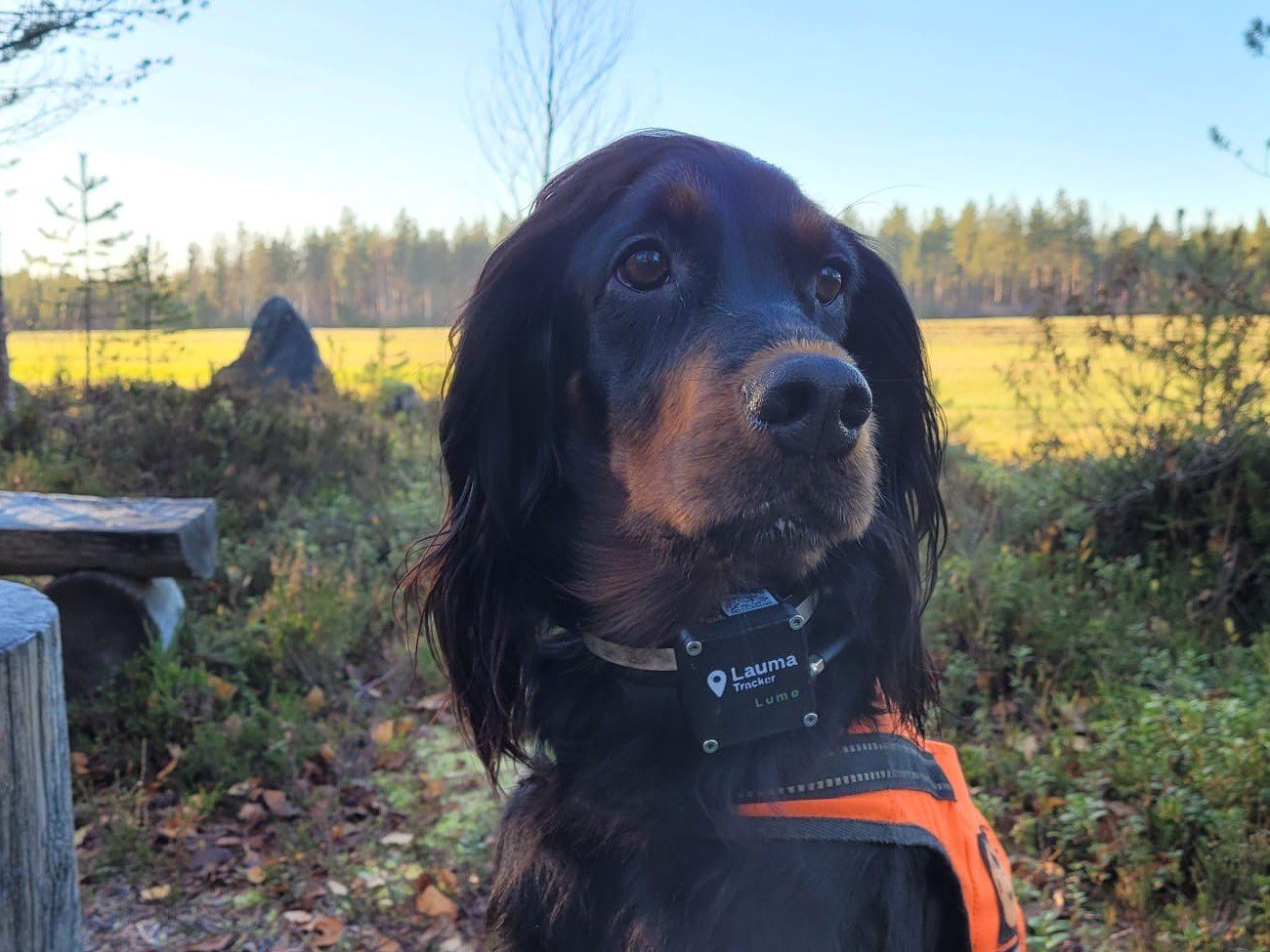
The point on the collar
With a pointing dog the information that matters most is not where the dog is searching but, in the end, that it has stopped on a bird, and where.
Lauma's point detection is not built on crude GPS data, on a dot on the map that stops moving, but on the collar feeling the dog: it carries a precise motion sensor, and we have access to everything the collar measures about the dog.
Bird situations are not always alike, and the same dog does not come onto a bird the same way every time. On top of the collar we have built detection that knows many of those ways.
The first detections are now in use: the app and the watch alert, and the watch shows the direction and distance to the point. On the app's map a point mark is drawn on the dog's trail, so after the trip you can see where the birds were.
There are more trips and more tuning ahead, and already it looks really promising.
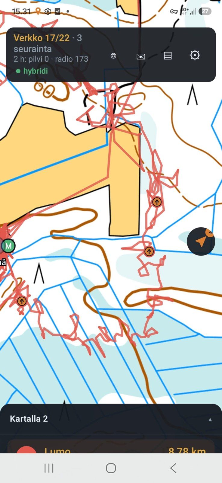
None of this without the testers
One thing deserves saying out loud: Lauma does not develop in our back yard, it develops on the testers' trips. Point detection is built entirely on Lumo's real points. After the trip Lumo's handler wrote down, to the minute, when the dog pointed and on which bird, and sent the collar's recordings to us straight from the app. Without them we would have a guess. With them we have a measure that every change is tested against.
The collar now detects barking and pointing. What next? If you have a good idea and a dog to test it with, get in touch.
Lots of small and big changes in the app
The week brought a pile of changes to the app. The main ones:
- Trail length. The dog's trail now says how far the dog has actually run.
- Speed. The dog's speed shows in the list the whole time, not only when the collar happens to say it.
- The club's ground. The club's hunting area, stands and all, is drawn on the map, and the phone buzzes when a dog crosses the boundary. For now the area comes in as a file, and the next step is below.
- Maps of Norway. The Norwegian topographic map is in, and it too can be downloaded to the phone in advance.
- A tidier interface. Lots of cleaning and streamlining throughout the app.
What comes next
The next big thing is Oma riista. The club's area and stands would come straight from there with a code you get from Oma riista, no files involved.
The app's first "ready" version is getting close, and with it the app goes to Google Play and the App Store for everyone. Until then the iPhone version is available through TestFlight, and the Android version opens for public testing on Google Play very soon.